District 5 Smart Roads

Tools and Data

District Secretary John E. Tyler, P.E.
Picture of a District 3 Building

Tools and Data


    NOEMI
    NOEMI

    NOEMI provides a snapshot of the current status of the signal system. It compares the existing system to the needs that FDOT has identified for CAV readiness as well as improved short-term operational capacity. The application also overlays the existing Routes of Significance and Priority Corridors. Routes of Significance are tied to FHWA Realtime System Management Information System, or RTSMIS. Priority Corridors represents the corridors of focus for Florida’s Statewide Arterial Management Program, or STAMP. The system follows the business rules displayed in its interface to translate data collected and maintained by the Signalized Intersection Inventory Application, or SIIA, into the conclusions shown on the site.
    D5 KML Files
    District 5 KML Files:
     
    Signalized Intersection Inventory Application
    Signalized Intersection Inventory Application (SIIA)

    SIIA provides construction and maintenance staff with a mechanism to create and update signalized intersections, identify intersection specific details, and create and update associated approaches and devices in user friendly web based platform. SIIA then imports this information into MIMS for maintenance and inventory tracking purposes in D5. Please note appropriate user credentials are needed to access the application. New users can fill out a Security Access Request form to request an account be created here: http://www.cflsmartroads.com/security.html

    Construction Projects Image Active Construction Projects

    FDOT's Iteractive map, depicting active construction projects and new corridors.
    Construction Projects Image 
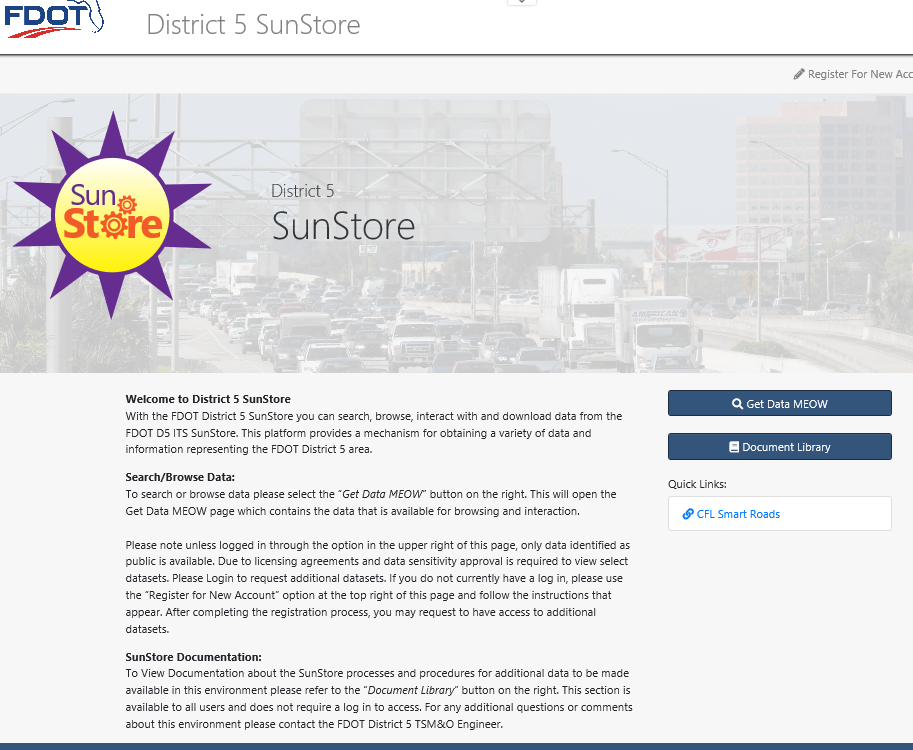
District 5 Sunstore

    This big data platform provides a mechanism for obtaining a variety of data and information representing the FDOT District 5 area.
    FDOT GIS Image FDOT GIS Portal

    A collaborative, cloud-based platform that allows members of an organization to use, create, and share maps, apps, and data with anyone.
    CFGIS Image Central Florida GIS / FDOT Resources

    The D5 home page of CFGIS, providing access to various Department resources (tools, data, documents).
    RTMC Map
    RTMC Map

    The RTMC Map provides information about potential crashes on arterials using probe vehicle information and ATSPM measures. The GIS layers can be turned on and off to allow users to customize their view. Logged in users can produce reports. This is limited to FDOT internal users for now.
    ICM STAT
    ICM STAT

    ICM Stat provides travel time information for I-75. Roadside Weather Information System data and Waze Alerts for the District and Transit locations relative to schedule for LYNX coverage areas are also available. Logged in users can produce reports. This is limited to FDOT internal users for now.


    Back to the Top


    web page hit counters codes Free